宾利开发团队很高兴地宣布笛卡尔CONNECT更新16(10.16.00.15)的可用性。基于MicroStation,它提供了一个独特的强大工具集,用于处理和集成点云和可扩展的地形模型,作为基础数据类型,持久地贯穿于建筑、工程、施工和运营(AECO)工作流。
What’s new in Descartes CONNECT Edition Update 16 – Date: July 30, 2021
– Performance improvements in Scalable Mesh: Clipping, texturing, management of concave areas, volume calculation
– Load and export compressed Cesium 3DTiles
– New key-ins to “Select”, “Delete” and get “Details” with undo/redo on 3SM
– Reprojection of 3SM when attached as reference
Descartes enables the fast and easy manipulation of 3D reality meshes of any scale as well as the generation of cross sections, extraction of ground and breaklines, and production of orthophotos, 3D PDFs, and iModels. In addition, you can integrate your meshes with GIS and engineering data to enable the intuitive search, navigation, visualization, and animation of that information within the visual context of the mesh. These meshes are rich, 3D scalable models of the real-world created with Bentley’s reality modeling software, ContextCapture.
Raster images in the form of aerial imagery, binary imagery, and raster digital elevation models (DEM) are fully supported in Descartes. It is a comprehensive image management environment with conversion (raster to vector and vector to raster), cleanup, and editing tools that extend the MicroStation raster management tools.
Point clouds can be enriched, segmented, and classified and combined with engineering models. You can then leverage Descartes’ capabilities for advanced 3D modeling, cross sectioning, breaklines, and ground extraction to quickly and efficiently model as-built conditions and support the design process. You can better evaluate point clouds and produce more accurate engineering models as a result. Animations and renderings for presentation can also be produced
You can produce very large scalable terrain models from many sources including point clouds, breaklines, raster digital elevation models, and existing triangulated irregular networks. Scalable terrain models are synchronized with the original data sources to remain up to date. This allows you to have a global, current, and integrated representation of all your data to perform analyses using a variety of display modes and to produce animations and visualizations.
With support for a wide range of reality modeling and engineering data types, you can take full advantage of your investment in existing data and get a more complete integrated view of your information. You can also streamline the production of deliverables in most standard industry formats for use in other applications.
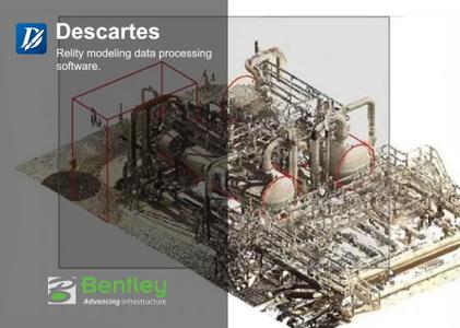
Bentley Descartes CONNECT Edition provides a very powerful toolset for integrating and processing reality modeling data such as reality meshes, point clouds, scalable terrain models and raster data for use in information modeling workflows.
Bentley Systems, Incorporated. is the global leader dedicated to providing architects, engineers, constructors, and owner-operators with comprehensive architecture and engineering software solutions for sustaining infrastructure. Founded in 1984, Bentley has nearly 3,000 colleagues in more than 45 countries, $500 million in annual revenues, and, since 2001, has invested more than $1 billion in research, development, and acquisitions.
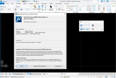
Product: Descartes
Version: CONNECT Edition Update 16 (10.16.00.15)
Supported Architectures: x64
Website Home Page : http://www.bentley.com
Languages Supported: english
System Requirements: PC *
Size: 6.57 Gb
百度网盘下载:
本站解压密码:caxfwz

请先 !